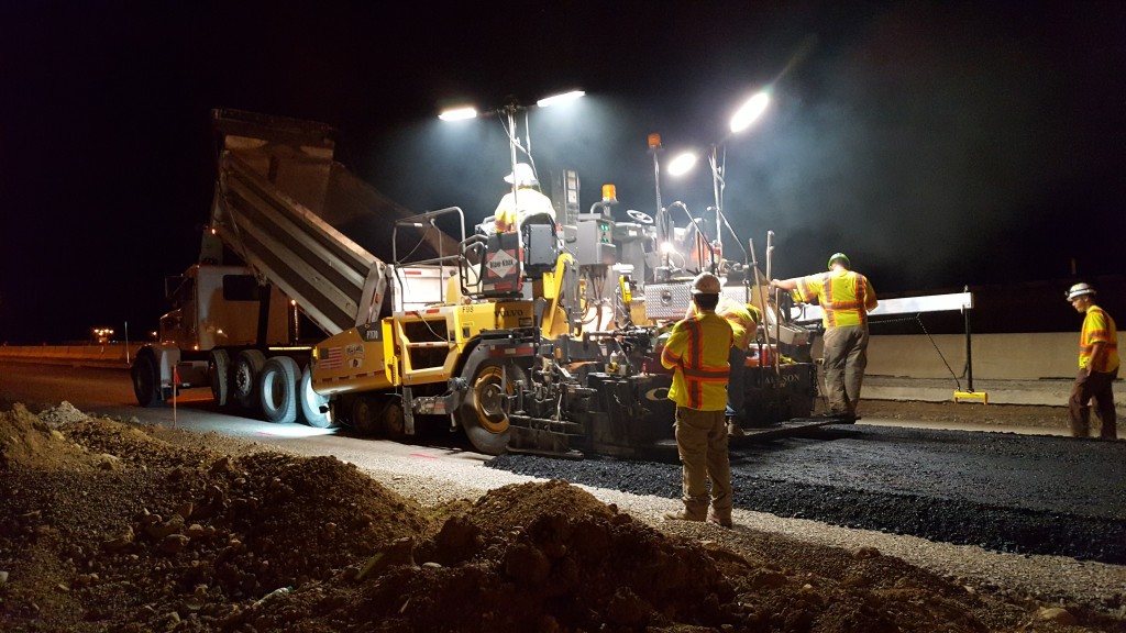
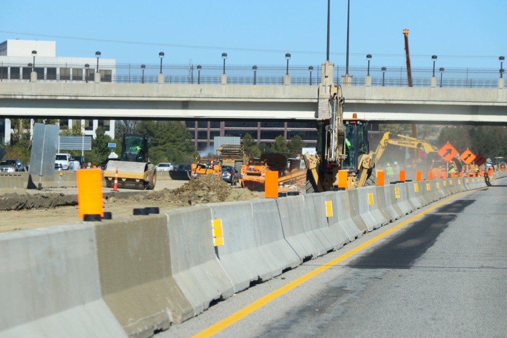
Construction Documentation
Construction represents ODOT monitored roads where construction is actively happening.
Fixed Camera
PTZ Camera
Resource accepts all default Filters.
Construction resource also has special Filters for displaying future construction.
Resource data is returned as an API Result model for valid requests or an Error Result model for failed requests. For an example of how to call this resource, see Swagger details.
Construction Model
Construction represents a location marker for construction site
- Links ( Array[Link] ) Links related to the current item
- Id ( String ) Unique Identifier
- Latitude ( Double ) The angular distance of a place north or south of the earth's equator
- Longitude ( Double ) The angular distance of a place east or west of the meridian at Greenwich, England
- Location ( String ) Construction road or intersection
- Description ( String ) Construction description message
- Category ( String ) Indicates planned or unplanned construction
- Direction ( String ) Side or sides of the road where construction exists
- District ( String ) District where construction is located
- RouteName ( String ) Road name where construction is located
- Status ( String ) Indicates if road is open, restricted, or closed for construction
- StartDate ( DateTime ) Expected construction start date
- EndDate ( Nullable`1 ) Expected construction end date
- WorkZones ( Array[WorkZone] , optional ) Work zone information
- Detours ( Array[Detour] , optional ) Work zone detour information
Link Model
Links capture data related to the current model they live on. The type of link is dependent on the rel property.
- Href ( String ) Url to a page or endpoint
- Rel ( String ) Identifier for the href url. [self] = link to the current item, [documentation] = link to related documentation, [redirect] = link to redirect page
- Method ( String , optional ) Method type of the link. If not displayed then GET is assumed.
Construction Work Zone Model
Work zone information
- StartLocation ( [Longitude, Latitude] , optional ) Start longitude and latitude point
- EndLocation ( [Longitude, Latitude] , optional ) End longitude and latitude point
- Polyline ( Array[[Longitude, Latitude] pairs] , optional ) Collection of longitude and latitude points that make up the work zone
Construction Detour Model
Work zone detour information
- Name ( String , optional ) Detour name
- Description ( String , optional ) Detoru Description
- StartDate ( String , optional ) Detour start date
- EndDate ( String , optional ) Detour end date
- DetourRoutes ( Array[DetourRoute] , optional ) Collection of detour roads that make up the full detour route
Construction Detour Route Model
Detour road and polyline that is part of full detour route
- RoadName ( String , optional ) Detour road name
- StartLocation ( [Longitude, Latitude] , optional ) Start longitude and latitude point
- EndLocation ( [Longitude, Latitude] , optional ) End longitude and latitude point
- Polyline ( Array[[Longitude, Latitude] pairs] , optional ) Collection of longitude and latitude points that make up the detour route